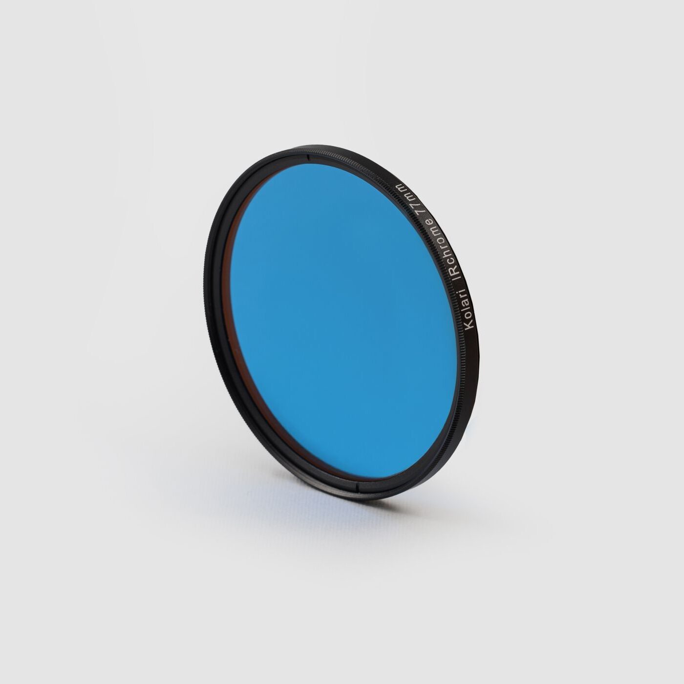
Our normalized difference vegetation index (NDVI) conversion allows you to assess and map plant health remotely via drone. Supporting blue and red type NDVI as well as the Agrowing multi spectral system.
270,00€
You’re about to leave the EU site and visit our US website (kolarivision.com).Do you want to continue?
Camera Accessories
Camera Filters